File:Africa location map.svg

Size of this PNG preview of this SVG file: 635 × 600 pixels. Mu misani inyake: 254 × 240 pixels | 508 × 480 pixels | 813 × 768 pixels | 1,084 × 1,024 pixels | 2,169 × 2,048 pixels | 1,525 × 1,440 pixels.
Chinthu cha kwenekuko (SVG file, nominally 1,525 × 1,440 pixels, file size: 774 KB)
Mwakudumula
| Malongosolelo |
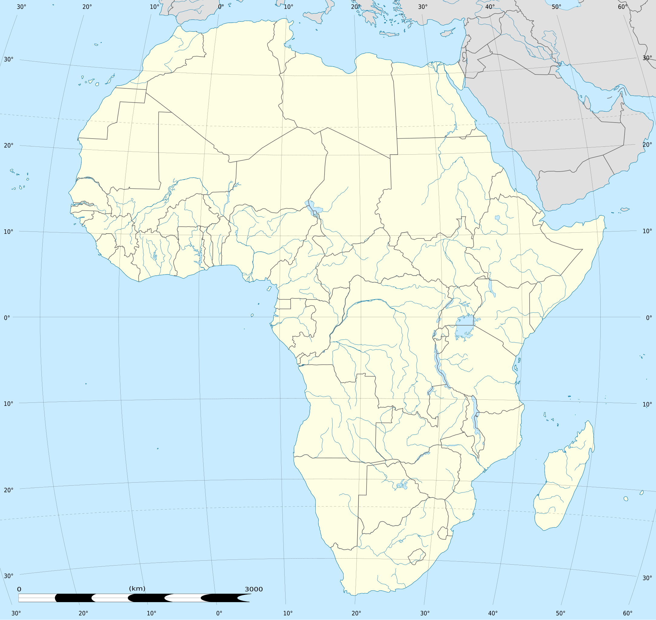
English: Blank administrative map of political Africa as in 2011-07, for geo-location purposes. On English Wikipedia, in "{{Location map Africa}}" to set marker along curved latitude/longitude lines.
Français : Carte administrative vierge de l'Afrique politique telle qu'en 07/2011, destinée à la géolocalisation. En Wikipédia Francais, a la Modèle:Géolocalisation/Afrique pour carte avec marqueur-image. A Lambert azimuthal equal-area projection, WGS84 datum
|
||
| Siku | 2010-07-02, updated 2011-07 | ||
| Ukaboni |
Based upon Africa map blank.svg created by myself
|
||
| Mlembi | Eric Gaba (Sting - fr:Sting) | ||
| Chilolezo (Kugwiliskaso ntchito ichi) |
|
||
| Other versions |
Derivative works of this file:
|
||
| SVG genesis | This locator map was created with Inkscape. |


| Camera location | | View this and other nearby images on: OpenStreetMap |
|---|
Chilolezo
Eric Gaba, Wikimedia Commons user Sting, the copyright holder of this work, hereby publishes it under the following licenses:

|
Chilolezo ntchakupelekeka pakupanga copy, kutandazga panj kusintha na malango gha GNU Free Documentation License, Version 1.2 or any later version published by the Free Software Foundation; with no Invariant Sections, no Front-Cover Texts, and no Back-Cover Texts. A copy of the license is included in the section entitled GNU Free Documentation License. |
Chinthu ichi ntchakuzomelezgeka na Creative Commons Attribution-Share Alike 3.0 Unported license.
Attribution: Eric Gaba, Wikimedia Commons user Sting
- Ndimwe ŵakuzomelezgeka:
- kugaŵa – kuti mutandazge, kugaŵa na kusintha ntchito
- kusazga – kusintha chito iyi
- Pa malango ghakulondezga agha:
- Viyambilo vya kuchita – Mukwenela kupeleka malumbo ghawemi, kupeleka linki yakutyonda ku chilolezo, kweneso yowoyaniso pala vinyake vyasintha. Mukwenela kuchita nthena mwakwenelela, kwambula kujikhalila khonde.
- mwa kugaŵana – Pala mwasazga panji mwasintha chinthu, mukwenela kuchitandazga
You may select the license of your choice.
Mbili ya chinthu
Dofyani pa siku/nyengo kuti muone umo vikaonekela pa nyengo iyo.
| Siku/Nyengo | Kachithuzi | Vipimo | Mgwiliski | Ganizo | |
|---|---|---|---|---|---|
| sono | 12:40, 2 Okutobala 2012 | | 1,525 × 1,440 (774 KB) | Palosirkka | Reverted to version as of 19:13, 14 July 2011 Location maps must remain very accurate |
| 20:15, 12 Sekutembala 2012 |  | 1,525 × 1,440 (524 KB) | Palosirkka | Scrubbed with http://codedread.com/scour/ | |
| 19:13, 14 Julayi 2011 |  | 1,525 × 1,440 (774 KB) | Sting | Sudan/South Sudan 2011-07 border update | |
| 20:12, 2 Julayi 2010 |  | 1,525 × 1,440 (573 KB) | Sting | == {{int:filedesc}} == {{Location|00|00|00|N|15|00|00|E|scale:30000000}} <br/>{{Information |Description={{en|Blank administrative map of political Africa, for geo-location purposes.}} {{fr|Carte administrative vierge de l'[[:fr:Afrique|Afr |
Magwiliskilo ntchito
The following 4 pages use this file:
Umo chinthu chagwiliskikila ntchito
Ma wiki ghanyake agho ghakugwiliska ichi:
- Magwiliskilo pa af.wikipedia.org
- Magwiliskilo pa als.wikipedia.org
- Magwiliskilo pa an.wikipedia.org
- Alcher
- Addis Abeba
- Brazzaville
- Accra
- Buyumbura
- Abuja
- Chibuti (ciudat)
- N'Djamena
- Banjul
- Lilongwe
- Bamako
- Maseru
- Kigali
- Asmara
- Mbabane
- Bissau
- Bangui
- Plantilla:Mapa de localización Africa
- Victoria (Seychelles)
- Freetown
- Moroni
- Sant Tomé
- Saint-Denis (Reunión)
- Saint-Benoît (Reunión)
- Saint-Paul (Reunión)
- Saint-Pierre (Reunión)
- Mamoudzou
- Magwiliskilo pa ar.wikipedia.org
- ابن بطوطة
- الألعاب الإفريقية
- قالب:خريطة مواقع إفريقيا
- دوري أبطال إفريقيا 2014
- خطوط موزمبيق الرحلة 470
- الخطوط الجوية الجزائرية الرحلة 5017
- قائمة الأماكن التي زارها ابن بطوطة
- وحدة:Location map/data/Africa
- وحدة:Location map/data/Africa/شرح
- التنافس بين تونس وليبيا في كرة القدم
- التنافس بين تونس والمغرب في كرة القدم
- التنافس بين المغرب وليبيا في كرة القدم
- قائمة ملاعب نهائيات كأس الأمم الإفريقية
- دوري إفريقيا لكرة السلة 2021
- كأس الأمم الإفريقية 2027
Wonani magwiliskilo ghanandi ghapa charu gha chinthu ichi.