File:Austria adm location map.svg

Chinthu cha kwenekuko (SVG file, nominally 1,256 × 700 pixels, file size: 183 KB)
Mwakudumula
| Malongosolelo |
Deutsch: Positionskarte von Österreich
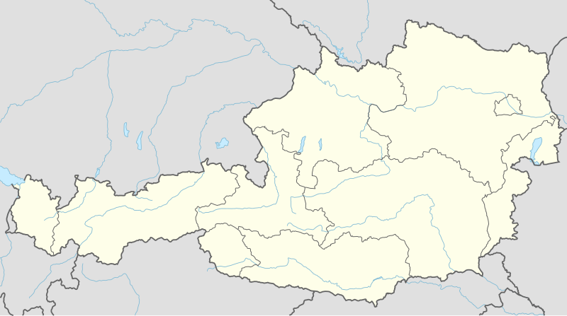
English: Location map of Austria
|
||||||||||||
| Siku | |||||||||||||
| Ukaboni |
Own work using:
|
||||||||||||
| Mlembi | NordNordWest | ||||||||||||
| SVG genesis |
|
||||||||||||

Chilolezo
Usage of this file with:

explanatory notes: Legally binding is only the full legalcode. For a free usage I recommend to respect the following licence conditions:
1. Provide my name as given above: NordNordWest,
2. a copy of, or the URI for, the applicable license: https://creativecommons.org/licenses/by-sa/3.0/de/legalcode,
3. the title of the work,
4. in the case of an adaptation, a credit identifying the use of the work in the adaptation.
This license and the rights granted hereunder will terminate automatically upon any breach by you of the terms of this license. Any of the above conditions can be waived if you get permission from the copyright holder. If you have questions or wish differing conditions, please contact me through nnwest or my discussion page ![]() t-online.de
t-online.de
- Ndimwe ŵakuzomelezgeka:
- kugaŵa – kuti mutandazge, kugaŵa na kusintha ntchito
- kusazga – kusintha chito iyi
- Pa malango ghakulondezga agha:
- Viyambilo vya kuchita – Mukwenela kupeleka malumbo ghawemi, kupeleka linki yakutyonda ku chilolezo, kweneso yowoyaniso pala vinyake vyasintha. Mukwenela kuchita nthena mwakwenelela, kwambula kujikhalila khonde.
- mwa kugaŵana – Pala mwasazga panji mwasintha chinthu, mukwenela kuchitandazga

Mbili ya chinthu
Dofyani pa siku/nyengo kuti muone umo vikaonekela pa nyengo iyo.
| Siku/Nyengo | Kachithuzi | Vipimo | Mgwiliski | Ganizo | |
|---|---|---|---|---|---|
| sono | 19:02, 2 Disembala 2014 | | 1,256 × 700 (183 KB) | NordNordWest | == {{int:filedesc}} == {{Information |Description= {{de|1=Positionskarte von Österreich}} {{en|1=Location map of Austria}} {{Location map series N |stretching=150 |top=49.2 |bottom=46.3 |left=9.4 |right=17.2 }} |Source={{Own using}} * United States Na... |
Magwiliskilo ntchito
The following page uses this file:
Umo chinthu chagwiliskikila ntchito
Ma wiki ghanyake agho ghakugwiliska ichi:
- Magwiliskilo pa ab.wikipedia.org
- Magwiliskilo pa ast.wikipedia.org
- Amstetten
- Viena
- Minihof-Liebau
- Burgruine Starhemberg
- Burgruine Aggstein
- Castiellu d'Ambras
- Donnerskirchen
- Selva de Bohemia
- Salzburgu
- Fugging
- Graz
- Innsbruck
- Linz
- Patrimoniu de la Humanidá n'Austria
- Palaciu Belvedere
- Estadiu Ernst Happel
- Universidá de Viena
- Universidá d'Economía de Viena
- Circuitu d'Österreichring
- Eisenstadt
- Klagenfurt am Wörthersee
- Sankt Pölten
- Bregenz
- Módulu:Mapa de llocalización/datos/Austria
- Leibnitz
- Módulu:Mapa de llocalización/datos/Austria/usu
- Fraxern
- Bañu central de Viena
- Berg und Löwenherz
- Aeropuertu de Graz
- Aeropuertu d'Innsbruck
- Aeropuertu de Klagenfurt
- Aeropuertu de Linz
- Institutu Austriacu p'América Llatina
- Catedral de San Esteban de Viena
- Ferrocarril de Mariazell
- Magwiliskilo pa as.wikipedia.org
- Magwiliskilo pa azb.wikipedia.org
- Magwiliskilo pa ban.wikipedia.org
- Magwiliskilo pa bh.wikipedia.org
- Magwiliskilo pa bn.wikipedia.org
Wonani magwiliskilo ghanandi ghapa charu gha chinthu ichi.