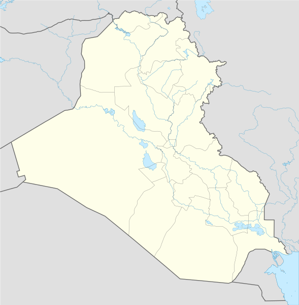
File:Iraq location map.svg

Size of this PNG preview of this SVG file: 589 × 600 pixels. Mu misani inyake: 236 × 240 pixels | 471 × 480 pixels | 754 × 768 pixels | 1,005 × 1,024 pixels | 2,011 × 2,048 pixels | 1,241 × 1,264 pixels.
Chinthu cha kwenekuko (SVG file, nominally 1,241 × 1,264 pixels, file size: 232 KB)
Mwakudumula
| Malongosolelo |
Deutsch: Positionskarte von Irak
Quadratische Plattkarte, N-S-Streckung 115 %. Geographische Begrenzung der Karte:
English: Location map of Iraq
Equirectangular projection, N/S stretching 115 %. Geographic limits of the map:
|
| Siku | |
| Ukaboni |
Own work using:
|
| Mlembi | NordNordWest |
| Other versions |
Derivative works of this file: |

|
This map has been made or improved in the German Kartenwerkstatt (Map Lab). You can propose maps to improve as well.
|
Chilolezo
I, the copyright holder of this work, hereby publish it under the following licenses:

|
Chilolezo ntchakupelekeka pakupanga copy, kutandazga panj kusintha na malango gha GNU Free Documentation License, Version 1.2 or any later version published by the Free Software Foundation; with no Invariant Sections, no Front-Cover Texts, and no Back-Cover Texts. A copy of the license is included in the section entitled GNU Free Documentation License. |
Chinthu ichi ntchakuzomelezgeka na Creative Commons Attribution-Share Alike 3.0 Unported license.
- Ndimwe ŵakuzomelezgeka:
- kugaŵa – kuti mutandazge, kugaŵa na kusintha ntchito
- kusazga – kusintha chito iyi
- Pa malango ghakulondezga agha:
- Viyambilo vya kuchita – Mukwenela kupeleka malumbo ghawemi, kupeleka linki yakutyonda ku chilolezo, kweneso yowoyaniso pala vinyake vyasintha. Mukwenela kuchita nthena mwakwenelela, kwambula kujikhalila khonde.
- mwa kugaŵana – Pala mwasazga panji mwasintha chinthu, mukwenela kuchitandazga
You may select the license of your choice.
Mbili ya chinthu
Dofyani pa siku/nyengo kuti muone umo vikaonekela pa nyengo iyo.
| Siku/Nyengo | Kachithuzi | Vipimo | Mgwiliski | Ganizo | |
|---|---|---|---|---|---|
| sono | 14:01, 8 Novembala 2017 | | 1,241 × 1,264 (232 KB) | Rob984 | reduced intensity of rivers in line with location scheme |
| 18:54, 17 Juni 2014 |  | 1,241 × 1,264 (377 KB) | Spesh531 | without Halabja, status disputed | |
| 03:13, 14 Juni 2014 |  | 1,241 × 1,264 (377 KB) | Spesh531 | adding many rivers (that are at least shown on an average Iraqi map) | |
| 01:09, 13 Juni 2014 |  | 1,241 × 1,264 (312 KB) | Spesh531 | additional lakes, and adding halabja | |
| 23:13, 12 Juni 2014 |  | 1,241 × 1,264 (313 KB) | Spesh531 | lakes | |
| 20:36, 21 Ogasiti 2008 |  | 1,241 × 1,264 (316 KB) | NordNordWest | {{Information |Description= {{de|Positionskarte von Irak}} Quadratische Plattkarte, N-S-Streckung 115 %. Geographische Begrenzung der Karte: * N: 37.7° N * S: 28.4° N * W: 38.4° O * O: 48.9° O {{en|Location map of Iraq}} Equi |
Magwiliskilo ntchito
Palije majani agho ghogwiliska chinthu ichi.
Umo chinthu chagwiliskikila ntchito
Ma wiki ghanyake agho ghakugwiliska ichi:
- Magwiliskilo pa af.wikipedia.org
- Magwiliskilo pa als.wikipedia.org
- Magwiliskilo pa ar.wikipedia.org
- العراق
- عبد الملك بن مروان
- أور
- إيسن
- إريدو
- كأس الخليج العربي 5
- دوري نجوم العراق
- الوركاء
- دير الربان هرمزد
- دير مار إيليا
- قائمة جامعات العراق
- أبو صلابيخ
- بحيرة ساوة
- عصر جمدة نصر
- سيبار
- دير مار متي
- قالب:خريطة مواقع العراق
- دير مار أوراها
- دير مار بهنام
- دير ناقورتايا
- قائمة سدود العراق
- كرسو
- شوروباك
- توتوب
- فترة أوروك
- تل عقير
- قاعدة القيارة الجوية
- قائمة مواقع التراث العالمي في العراق
- نفر
- قالب:خريطة مواقع الأندية العراقية
- وحدة:Location map/data/Iraq
- وحدة:Location map/data/Iraq/شرح
- قالب:المنشآت الجامعية في العراق
- قالب:خريطة مفصلة للتمرد العراقي
- قالب:خريطة مواقع التراث العالمي في العراق
- قالب:خريطة أهوار العراق
- مواجهات مطار سفوان
- تفجيرات بغداد (كانون الثاني 2017)
- بطولة اتحاد غرب آسيا لكرة القدم 2019
- هجوم صاروخي 2018 كردستان العراق
- اعتقال أمريكا لدبلوماسيين إيرانيين في أربيل
- تدافع كربلاء 2019
Wonani magwiliskilo ghanandi ghapa charu gha chinthu ichi.