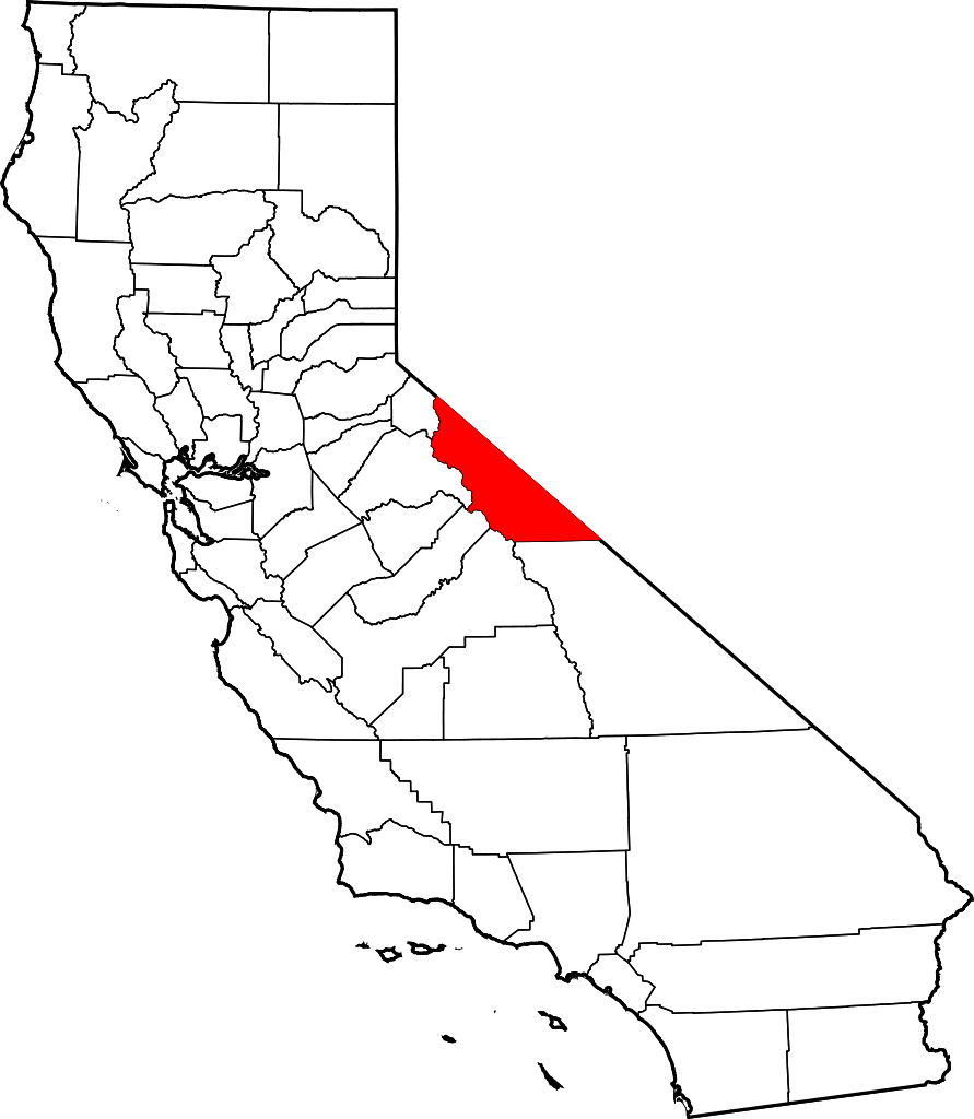
File:Map of California highlighting Mono County.svg

Size of this PNG preview of this SVG file: 521 × 599 pixels. Mu misani inyake: 209 × 240 pixels | 417 × 480 pixels | 668 × 768 pixels | 891 × 1,024 pixels | 1,781 × 2,048 pixels | 9,164 × 10,536 pixels.
Chinthu cha kwenekuko (SVG file, nominally 9,164 × 10,536 pixels, file size: 229 KB)
Mwakudumula
| Malongosolelo | |
| Siku | 12 Febuluwale 2006 (original upload date) |
| Ukaboni | No machine-readable source provided. Own work assumed (based on copyright claims). |
| Mlembi | No machine-readable author provided. David Benbennick assumed (based on copyright claims). |
Credits
David Benbennick made this map. For more information, see Commons:United States county locator maps.
Chilolezo
| I, the copyright holder of this work, release this work into the public domain. This applies worldwide. In some countries this may not be legally possible; if so: I grant anyone the right to use this work for any purpose, without any conditions, unless such conditions are required by law. |
Mbili ya chinthu
Dofyani pa siku/nyengo kuti muone umo vikaonekela pa nyengo iyo.
| Siku/Nyengo | Kachithuzi | Vipimo | Mgwiliski | Ganizo | |
|---|---|---|---|---|---|
| sono | 10:26, 12 Febuluwale 2006 | | 9,164 × 10,536 (229 KB) | David Benbennick | {{subst:User:Dbenbenn/clm|county=Mono County|state=California}} |
Magwiliskilo ntchito
The following page uses this file:
Umo chinthu chagwiliskikila ntchito
Ma wiki ghanyake agho ghakugwiliska ichi:
- Magwiliskilo pa ar.wikipedia.org
- Magwiliskilo pa az.wikipedia.org
- Magwiliskilo pa ban.wikipedia.org
- Magwiliskilo pa bg.wikipedia.org
- Magwiliskilo pa bpy.wikipedia.org
- Magwiliskilo pa ca.wikipedia.org
- Magwiliskilo pa ceb.wikipedia.org
- Magwiliskilo pa ce.wikipedia.org
- Magwiliskilo pa cs.wikipedia.org
- Magwiliskilo pa cy.wikipedia.org
- Magwiliskilo pa da.wikipedia.org
- Magwiliskilo pa de.wikipedia.org
- Magwiliskilo pa en.wikipedia.org
- List of counties in California
- Mono County, California
- Mammoth Lakes, California
- Bridgeport, California
- Bodie, California
- Lee Vining, California
- Coleville, California
- Dog Town, California
- Chalfant, California
- Swall Meadows, California
- Masonic, California
- Template:Mono County, California
- Lundy, California
- June Lake, California
- Crowley Lake, California
- Benton, California
- Category:Wikipedia requested photographs in Mono County, California
- National Register of Historic Places listings in Mono County, California
- User:Nyttend/County templates/CA/2
- Aspen Springs, California
- Belfort, California
- Hammil Valley, California
- Mill City, Mono County, California
- Mono City, California
- Mono Mills, California
- Montgomery City, California
- Toms Place, California
Wonani magwiliskilo ghanandi ghapa charu gha chinthu ichi.