File:South Africa Eastern Cape location map.svg

Size of this PNG preview of this SVG file: 800 × 556 pixels. Mu misani inyake: 320 × 222 pixels | 640 × 445 pixels | 1,024 × 712 pixels | 1,280 × 889 pixels | 2,560 × 1,779 pixels | 1,298 × 902 pixels.
Chinthu cha kwenekuko (SVG file, nominally 1,298 × 902 pixels, file size: 282 KB)
Mwakudumula
| Malongosolelo |
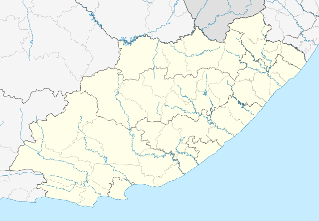
English: Location map of the Eastern Cape
Equirectangular projection, N/S stretching 117%. Geographic limits of the map:
|
| Siku | |
| Ukaboni |
|
| Mlembi | Htonl |
| Chilolezo (Kugwiliskaso ntchito ichi) |
I, the copyright holder of this work, hereby publish it under the following license: Chinthu ichi ntchakuzomelezgeka na Creative Commons Attribution-Share Alike 3.0 Unported license.
|
| Other versions | File:South Africa Eastern Cape relief location map.svg, File:Blank map of the Eastern Cape (2011).svg |
| SVG genesis |
.svg)
Mbili ya chinthu
Dofyani pa siku/nyengo kuti muone umo vikaonekela pa nyengo iyo.
| Siku/Nyengo | Kachithuzi | Vipimo | Mgwiliski | Ganizo | |
|---|---|---|---|---|---|
| sono | 21:44, 4 Janyuwale 2013 | | 1,298 × 902 (282 KB) | Htonl | == {{int:filedesc}} == {{Information |Description ={{en|Location map of the Eastern Cape Equirectangular projection, N/S stretching 117%. Geographic limits of the map: * N: 29.75° S * S: 34.5° S * W: 22.5° E * E: 30.5° E}} |... |
Magwiliskilo ntchito
The following 51 pages use this file:
- Adelaide, Eastern Cape
- Alice, Eastern Cape
- Balfour, Eastern Cape
- Bedford, Eastern Cape
- Bell, Eastern Cape
- Blythswood, Eastern Cape
- Bodiam, Eastern Cape
- Border Post, Eastern Cape
- Braunschweig, Eastern Cape
- Burnshill, Eastern Cape
- Butterworth, Eastern Cape
- Calderwood, Kapa Bohlabela, Eastern Cape
- Cathcart, Eastern Cape
- Chintsa, Eastern Cape
- Debe Nek, Eastern Cape
- Dutywa, Eastern Cape
- Elliotdale, Eastern Cape
- Fort Beaufort, Eastern Cape
- Frankfort, Eastern Cape
- Haga Haga, Eastern Cape
- Hamburg, Eastern Cape
- Healdtown, Eastern Cape
- Hobeni, Eastern Cape
- Hogsback, Eastern Cape
- Katberg, Eastern Cape
- Kei Mouth, Eastern Cape
- Kei Road, Eastern Cape
- Keiskammahoek, Eastern Cape
- Kentani, Eastern Cape
- Komga, Eastern Cape
- KwaMemela, Eastern Cape
- KwaNobanda, Eastern Cape
- KwaSawu, Eastern Cape
- KwaWezo, Eastern Cape
- Maclear, Eastern Cape
- Manzana, Mnquma
- Mazeppa Bay, Eastern Cape
- Mhlangeni, Eastern Cape
- Middledrift, Eastern Cape
- Mnyameni, Eastern Cape
- Morgans Bay, Eastern Cape
- Nqamakwe, Eastern Cape
- Peddie, Eastern Cape
- Qolora Mouth, Eastern Cape
- Queensberry Bay, Eastern Cape
- Seymour, Eastern Cape
- Sihota, Eastern Cape
- Stutterheim, Eastern Cape
- Wesley, Eastern Cape
- Willowvale, Eastern Cape
- Wooldridge, Eastern Cape
Umo chinthu chagwiliskikila ntchito
Ma wiki ghanyake agho ghakugwiliska ichi:
- Magwiliskilo pa af.wikipedia.org
- Alice, Oos-Kaap
- Bhisho
- Oos-Londen
- Gqeberha
- Qunu
- Nieu-Bethesda
- Aliwal-Noord
- Dordrecht, Oos-Kaap
- Grahamstad
- Qonce
- Komani
- Cradock
- Bathurst, Oos-Kaap
- Port Alfred
- Graaff-Reinet
- Indwe
- Uitenhage
- Aberdeen, Oos-Kaap
- Adelaide (Suid-Afrika)
- Fort Beaufort
- Adendorp
- Addo-olifant- Nasionale Park
- Middelburg, Oos-Kaap
- Groot-Visrivier
- Hogsback
- Somerset-Oos
- Albanie
- Bethelsdorp
- Elliot
- Maclear
- Barkly-Oos
- Ugie
- Burgersdorp
- Rhodes, Oos-Kaap
- Seymour, Oos-Kaap
- Balfour, Oos-Kaap
- Lady Grey
- Jamestown, Oos-Kaap
- Sterkstroom
- Kamdeboo- Nasionale Park
- Nasionale Bergkwaggapark
- Mthatha
- Despatch
- Joubertina
- Boesmansriviermond
- Potsdam, Oos-Kaap
- Butterworth
- Mount Frere
- Stutterheim
- Bedford, Oos-Kaap
Wonani magwiliskilo ghanandi ghapa charu gha chinthu ichi.