File:South Africa Free State location map.svg

Size of this PNG preview of this SVG file: 672 × 599 pixels. Mu misani inyake: 269 × 240 pixels | 538 × 480 pixels | 861 × 768 pixels | 1,148 × 1,024 pixels | 2,296 × 2,048 pixels | 1,130 × 1,008 pixels.
Chinthu cha kwenekuko (SVG file, nominally 1,130 × 1,008 pixels, file size: 286 KB)
Mwakudumula
| Malongosolelo |
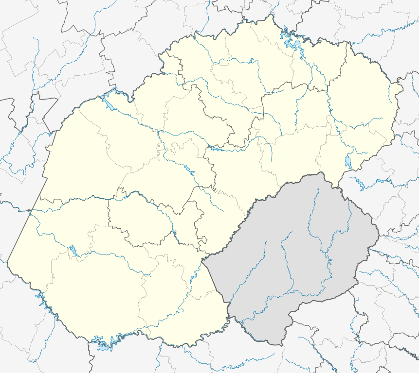
English: Location map of the Free State
Equirectangular projection, N/S stretching 114%. Geographic limits of the map:
|
| Siku | |
| Ukaboni |
|
| Mlembi | Htonl |
| Chilolezo (Kugwiliskaso ntchito ichi) |
I, the copyright holder of this work, hereby publish it under the following license: Chinthu ichi ntchakuzomelezgeka na Creative Commons Attribution-Share Alike 3.0 Unported license.
|
| Other versions | File:South Africa Free State relief location map.svg, File:Blank map of the Free State (2011).svg |
.svg)
Mbili ya chinthu
Dofyani pa siku/nyengo kuti muone umo vikaonekela pa nyengo iyo.
| Siku/Nyengo | Kachithuzi | Vipimo | Mgwiliski | Ganizo | |
|---|---|---|---|---|---|
| sono | 23:54, 5 Janyuwale 2013 | | 1,130 × 1,008 (286 KB) | Htonl | == {{int:filedesc}} == {{Information |Description ={{en|Location map of the en:Free State Equirectangular projection, N/S stretching 114%. Geographic limits of the map: * N: 26.5° S * S: 31° S * W: 24.25° E * E: 30° E}} |Source = *... |
Magwiliskilo ntchito
The following 2 pages use this file:
Umo chinthu chagwiliskikila ntchito
Ma wiki ghanyake agho ghakugwiliska ichi:
- Magwiliskilo pa af.wikipedia.org
- Bloemfontein
- Kroonstad
- Sasolburg
- Welkom
- Parys, Vrystaat
- Philippolis
- Bultfontein
- Trompsburg
- Rouxville
- Bethulie
- Bethlehem, Vrystaat
- Clarens, Vrystaat
- Fouriesburg
- Paul Roux
- Reitz
- Senekal
- Harrismith
- Kestell
- Lindley
- Wepener
- Golden Gate-Hoogland- Nasionale Park
- Clocolan
- Marquard
- Vrede, Vrystaat
- Memel, Vrystaat
- Arlington, Vrystaat
- Petrus Steyn
- Frankfort
- Villiers
- Cornelia
- Phuthaditjhaba
- Warden
- Ladybrand
- Ficksburg
- Rosendal
- Swinburne
- Tweeling, Vrystaat
- Zastron
- Excelsior, Vrystaat
- Hoopstad
- Sjabloon:Inligtingskas Nedersetting
- Jacobsdal
- Verkeerdevlei
- Winburg
- Botshabelo
- Vredefort
- Bothaville
- Jagersfontein
- Brandfort
- Koffiefontein
Wonani magwiliskilo ghanandi ghapa charu gha chinthu ichi.